Planning and environment
Where to build, what to protect, which site to keep.
A renewable acceleration zone, a land-take quota, a site to take forward or to drop: the map has to carry the reason, for residents, for state services, and for council.
France, Belgium, Switzerland, Luxembourg.
A zone you cannot explain will not hold. Constraint layers and a potential reading, on the same geometry, turn an opinion into a criterion.
For a developer, the same grid says which site to keep and which to drop early, before the studies pile up. For an authority or a land agency, it says which plot to acquire first.
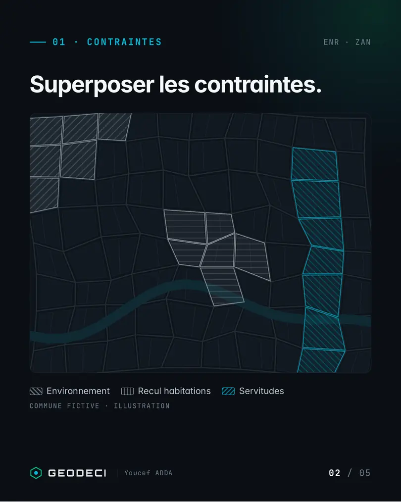
Constraints
Environment, housing setback, easements: stacked, not recalled from memory.
Potential
Measured where it is actually possible.
The choice
Each retained zone carries its justification. The note is ready for council.

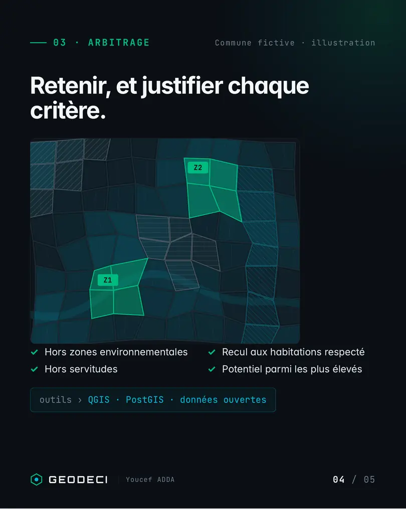
Means. QGIS, PostGIS, open data. The illustrations below use a fictitious municipality.
Decision Diagnostic
A short fixed scope. We name what costs money or blocks the work, and the first action to take.