4.0.0 · QGIS 4.2.1
DQE Chargeur
Send the PRO bill of quantities for one fibre zone, and show where each figure comes from.
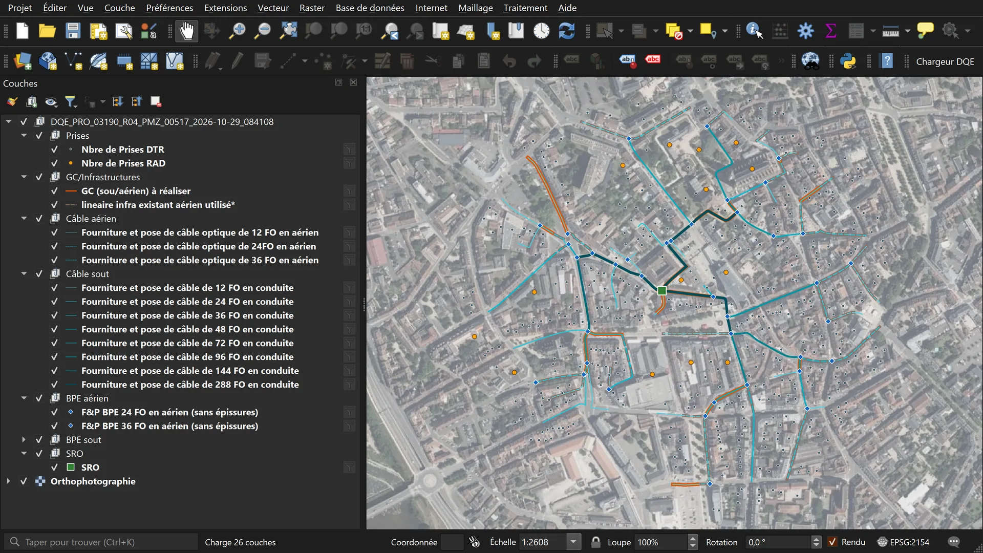
A DQE is the bill of quantities of one SRO zone: premises, cable length per fibre count, splice closures, civil works. DQE Chargeur computes it in PostgreSQL. It fills the Excel template and loads each counted object into QGIS. The dialog has four tabs: PRO, EXE, PGC and Recover. This session runs PRO.
Step 1 of 7
One SRO code, one network type
Step 1. One SRO code, one network type. Tab PRO. SRO 03190/R04/PMZ/00517, type Transport. The plugin checks the code format before it enables Exécuter DQE PRO. The green DB badge shows the PostgreSQL connection. The map shows the zone on the orthophoto, before the run.
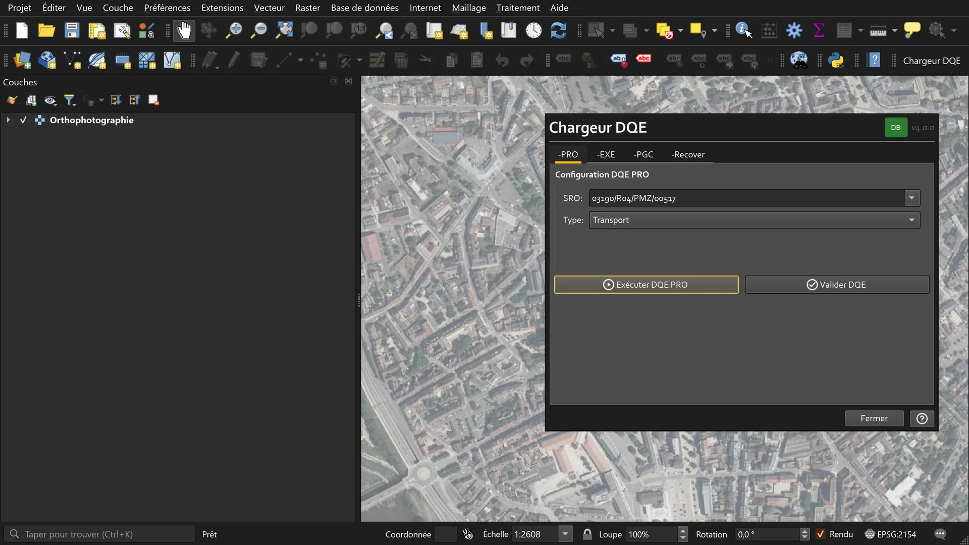
Tab PRO. SRO 03190/R04/PMZ/00517, type Transport. The plugin checks the code format before it enables Exécuter DQE PRO. The green DB badge shows the PostgreSQL connection. The map shows the zone on the orthophoto, before the run.
Arrow keys change the step. Escape closes full screen. Swipe on the image.
Sources for this page
- BD TOPO road segments, IGN, Géoplateforme (opens in a new tab)
- Parcellaire Express parcels, IGN, Géoplateforme (opens in a new tab)
- BD ORTHO orthophoto, IGN, Géoplateforme (opens in a new tab)
- Source code on GitHub (opens in a new tab)
- Plugin documentation (opens in a new tab)
Captured in QGIS 4.2.1, Qt 6, French interface, project in Lambert-93 (EPSG:2154). The fibre zone is synthetic. Routes, cables, closures and premises were generated on public IGN streets (BD TOPO) and parcels (Parcellaire Express) of Moulins. Basemap: IGN orthophoto. Quantities come from a simplified copy of the server-side function, with the same columns. The archive rows were written for the capture. Layer colours were set for the capture. This is not client data. QGIS ran without a screen: each dialog frame is the plugin window drawn over the QGIS window.
Version and compatibility
metadata.txt for 4.0.0: QGIS 3.28 to 4.99. One code base for Qt 5 and Qt 6. Captured on QGIS 4.2.1, Qt 6. The dialog is in French.
In-house tool. It is not published on plugins.qgis.org.
Designed and maintained by Youcef ADDA (GEODECI).
Decision Diagnostic
A short fixed scope. We name what costs money or blocks the work, and the first action to take.