3.5.0 · QGIS 4.2.1
RecoGC
Decide whether an as-built civil works file goes to the operator, or back to the site.
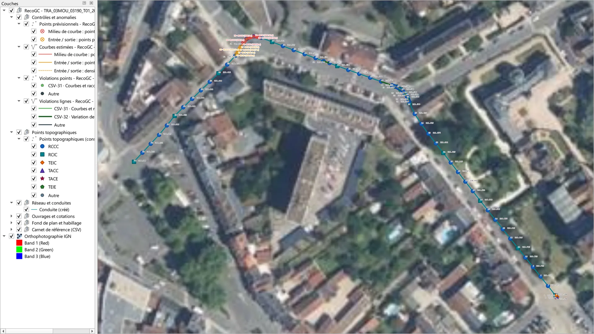
A telecom civil works as-built file has four pieces: a survey CSV, a DWG drawing, a PDF situation plan and an information sheet. The operator rejects a file that does not follow its specification. RecoGC reads the four pieces and applies 79 rules: 49 come from the specification, 30 are house rules, declared as such. Each finding carries its rule, the expected value and the measurement made.
Step 1 of 6
The file, four pieces
Step 1. The file, four pieces. The folder TRA_03MOU_03190_T01_2026 is set in the panel. The four pieces are recognised: CSV, DXF drawing, PDF, DOCX sheet. The progress bar reads 1. Livrable, 4/4 pièces, then 2. Contrôle, Prêt à lancer.
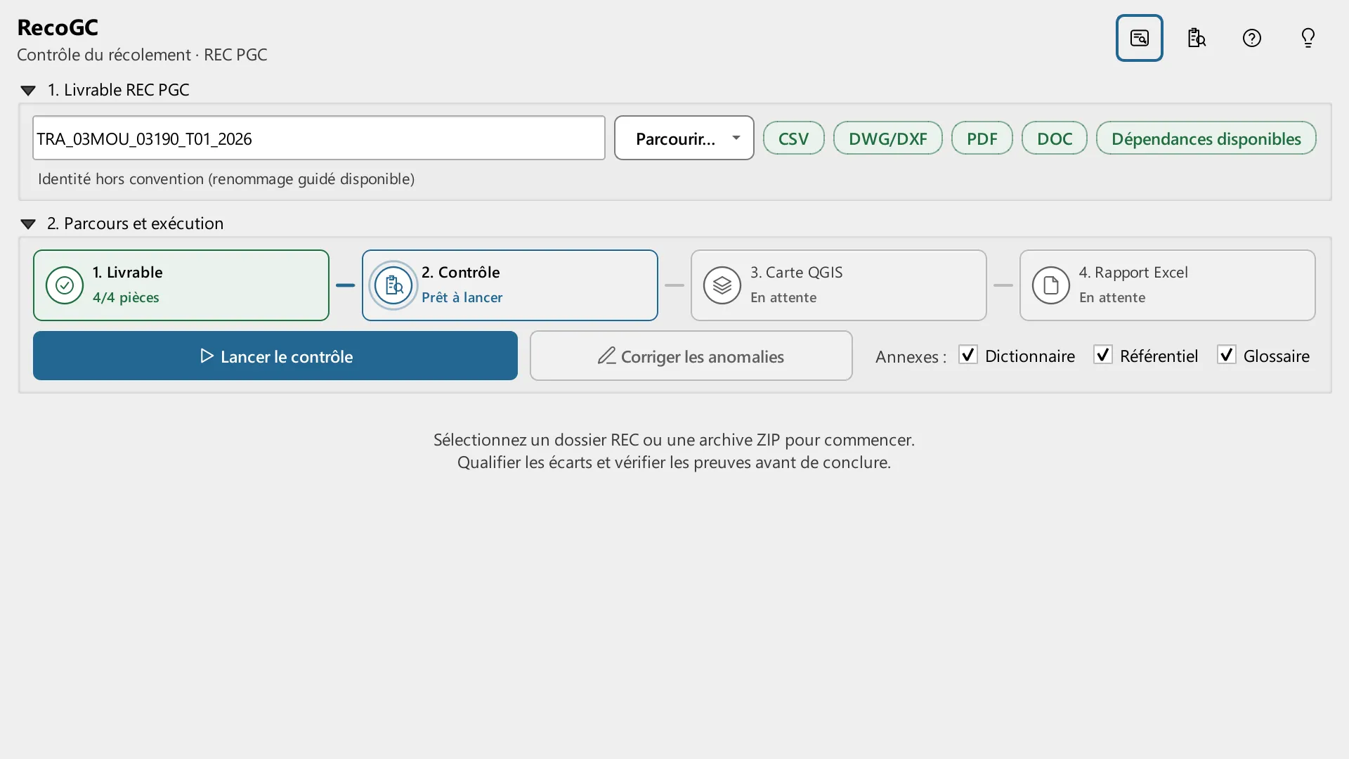
The folder TRA_03MOU_03190_T01_2026 is set in the panel. The four pieces are recognised: CSV, DXF drawing, PDF, DOCX sheet. The progress bar reads 1. Livrable, 4/4 pièces, then 2. Contrôle, Prêt à lancer.
Arrow keys change the step. Escape closes full screen. Swipe on the image.
Sources for this page
- IGN BD TOPO, road sections (troncon_de_route) of Moulins, Géoplateforme WFS (opens in a new tab)
- IGN orthophoto, Géoplateforme WMS, layer ORTHOIMAGERY.ORTHOPHOTOS (opens in a new tab)
Captured in QGIS 4.2.1 (Qt 6), French interface, project in Lambert-93 (EPSG:2154). The file is invented: the axis of Rue du Vert Galant in Moulins (INSEE 03190) comes from IGN BD TOPO, with its altitudes, and the basemap is the IGN orthophoto. Companies, numbers and dates in the pieces are invented. This is not client data. The pages serve the recorded images. They do not call IGN when you open them.
Version and compatibility
metadata.txt for 3.5.0: QGIS 3.28 to 4.99, Qt 5 and Qt 6, marked experimental. Captured on QGIS 4.2.1, Qt 6. The panel is in French. 42 test files, two of them replay real deliveries.
In-house tool. It is not published on plugins.qgis.org.
Designed and maintained by Youcef ADDA (GEODECI).
Decision Diagnostic
A short fixed scope. We name what costs money or blocks the work, and the first action to take.